
Maryland joins mid-decade redistricting fight
Legislators in Maryland introduced a bill Tuesday that proposed Congressional redistricting. The bill would add Maryland to the number of states that have undergone mid-decade congressional redistricting ahead of the 2026 midterm elections.
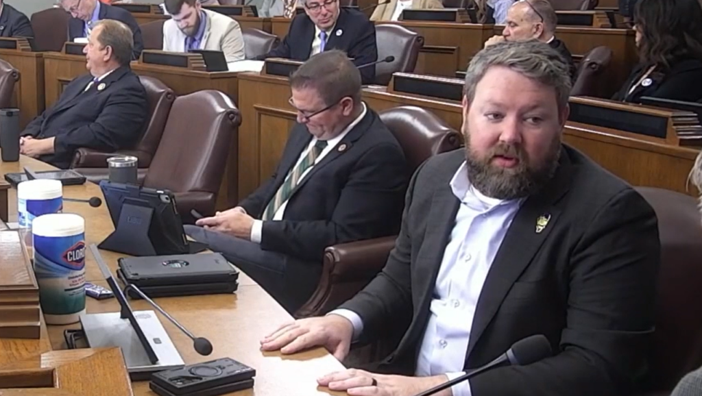
Maryland Gov. Wes Moore spoke before the Maryland House of Delegates’ Rules and Executive Nominations Committee alongside state delegate C.T. Wilson, who introduced the redistricting legislation. The proposed constitutional amendment would likely shift Maryland from a map with seven Democrats and one Republican representative to eight Democrats and zero Republican representatives.
Wilson said he introduced the legislation in an effort to counter redistricting in Texas, Missouri and North Carolina. He called those efforts attempts to “rig the next election.”
“Marylanders can’t just be expected to idly sit by and and hope things get better,” Wilson said. “When someone tries to silence our voice, it’s necessary to step into the void and enter the fray.”
Moore appointed Wilson to serve on an advisory committee to create the new maps. The committee held public hearings to obtain feedback on the proposed maps. Wilson said the map complies with population and racial requirements in the Constitution.
Moore called for the maps to be implemented to increase a Congressional check on President Donald Trump’s executive power. He accused Trump and leaders in the administration of breaking First and Second Amendment rights.
“Donald Trump and J.D. Vance and their allies in the states that he suggested are doing everything in their power to silence the voices and trying to eliminate Black leadership, elected leadership all over this country,” Moore said.
Maryland Delegate Jason Buckel, R-Alleghany County, raised concerns about the makeup of congressional districts in the map. He said the map does not require districts to be compact in form, contain natural boundaries and consist of adjoining territories, like state districts do.
“Those standards that apply to us, don’t apply to this map because they’d be thrown out,” Buckle said.
Wilson argued that several past votes on congressional map changes in Maryland were rejected by the general public. He said the public votes in 1967, 1970 and 1972 did not require the state’s congressional districts to contain natural boundaries, be compact in form and consist of adjoining territories.
“Until the people say otherwise, it does not apply,” Wilson said. “No matter how powerful we may think we are, we are not supposed to override the will of the people.”
While the state map only proposes one additional likely district for Democrat representation, Moore said one additional vote could significantly shift Congressional voting outcomes. He pointed to the recent tied vote on a war powers resolution to restrict rump’s military actions in Venezuela in the U.S. Senate and U.S. House of Representatives.
“The whole idea of democracy is that every vote matters; It should count,” Moore said. “The only thing we’re asking throughout this entire process is let’s have something that is actually informed by Marylanders.”






Slight Chance Rain Showers
Latest News Stories

Ongoing border enforcement: Revocation of citizenship of convicted criminals

Minnesota wildfires prompt burning restrictions as air quality improves

Poll: Americans views of socialism little changed despite recent elections

Malliotakis: Commie Caucus is coming to Congress

Texas Republicans chastise Mexican official’s ‘audacious’ border security claims

Feds freeze $1B to California, Minnesota Medicaid

Arrangements, services in place for Graham

Push increased for Dalilah’s Law to get a floor vote

Texas suffers its first casualty in Iran war: female soldier from Carrollton
Illinois quick hits: Benton’s replacement chosen; gas prices resume climb

Illinois diversity certifications lag despite partial computer fix

FBI: Suspect in federal building attack was anti-ICE ‘extremist’